
 Image 1 of 1
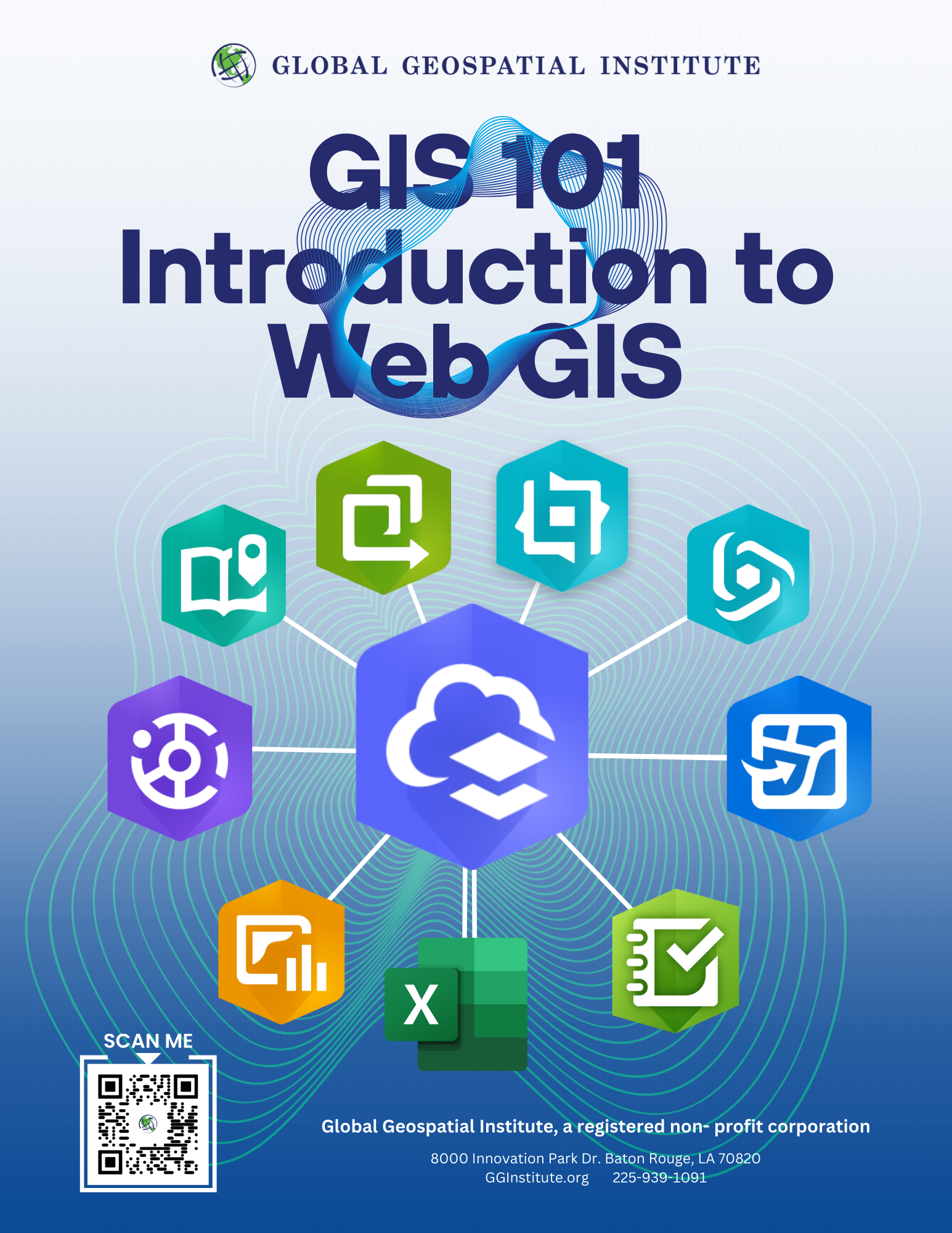
GIS 101 Introduction to Web GIS Industry Based Certification (IBC)
GIS 101 Introduction to WebGIS IBC
This course introduces students to the fundamentals of Geographic Information Systems (GIS) through web-based mapping. Using ArcGIS Online, students learn what spatial data is, how maps communicate information, and how to create and share their own interactive web maps, StoryMaps, and dashboards. Because the course is entirely web-based, it requires no specialized equipment, just a computer and an internet connection—making it accessible first step into the geospatial field. By the end of the course, students will understand core GIS concepts and have hands-on experience building digital maps that tell a story with data.
By Industry…. For Industry
This certification was developed through needs assessments and job analysis with the geospatial industry. The GIS 101 Certification meets industry needs by identifying workers with specific, employer-demanded knowledge, skills and abilities to support hiring practices and fill the gap in employment needs across sectors, including energy, utilities, coastal restoration, transportation, agriculture, and public safety.
See what industry is saying about the GIS 101 Certification
"We believe the GIS 101: Introduction to Web GIS certification addresses a real workforce need in Louisiana. The credential covers transferable competencies, including spatial analysis, data visualization, geocoding, web mapping, and mobile data collection—that are directly applicable to our work and valuable across GIS platforms."
Troy West, Director, Distribution Engineering & Support, Cleco Power LLC
Industry Readiness Indicators
Industry partners have identified the industry readiness indicators that are measured on the GIS 101 certification exam. Based on industry needs and assessment of each indicator, the number of exam items per area has been determined and is noted on the exam guide. Additionally, where applicable, the industry readiness indicators have been correlated with current educational frameworks, including Louisiana's Jump Start 2.0 career pathways.
Exam Specifics
Exams are delivered online and must be administered by an approved proctor. Candidates have a two-hour window during a single session to complete the exam. Exams are 100 questions in length and include multiple choice options for all items. Candidates are required to achieve a passing score on the exam to earn certification. Reduced price retake exams are available to candidates who do not meet the minimum passing score on the initial attempt.
GGI is a certifying agency.
AEST is the third-party testing agency; visit AEST GIS IBC
Exam Guide
The exam guide is designed to assist candidates in preparing to sit for the GIS 101 certification exam. It includes information about the exam, exam objectives, recommended references, and sample items — all with the intent of helping candidates achieve a passing score. A combination of classroom instruction and self-study is recommended to maximize a candidate's chance of earning an industry-based certification (IBC).
Exam References
Primary references and secondary references are provided by the Global Geospatial Institute (GGI) upon enrollment in GGI courses. To be eligible to sit for the certification exam, students are required to earn a passing score of 70% in their course. Certification is earned by passing the exam.
For questions about the GIS 101 certification, contact the Global Geospatial Institute, Rejina Adhikari, GIS Program Operations at radhikari@gginstitute.org or call 225-939-1091.
Price: per person $1,500.00.
PRICING FOR SCHOOL DISTRICTS. For school district pricing please contact Rejina Adhikari at radhikari@gginstitute.org
GGI is a provider to LA DOE Supplemental Course Academy (SCA). SCA Funds can be applied.
Pricing is all inclusive: GGI Instructor fees, Course textbook, IBC Certification testing fees, one retake, etc.
GIS 101 Introduction to WebGIS IBC
This course introduces students to the fundamentals of Geographic Information Systems (GIS) through web-based mapping. Using ArcGIS Online, students learn what spatial data is, how maps communicate information, and how to create and share their own interactive web maps, StoryMaps, and dashboards. Because the course is entirely web-based, it requires no specialized equipment, just a computer and an internet connection—making it accessible first step into the geospatial field. By the end of the course, students will understand core GIS concepts and have hands-on experience building digital maps that tell a story with data.
By Industry…. For Industry
This certification was developed through needs assessments and job analysis with the geospatial industry. The GIS 101 Certification meets industry needs by identifying workers with specific, employer-demanded knowledge, skills and abilities to support hiring practices and fill the gap in employment needs across sectors, including energy, utilities, coastal restoration, transportation, agriculture, and public safety.
See what industry is saying about the GIS 101 Certification
"We believe the GIS 101: Introduction to Web GIS certification addresses a real workforce need in Louisiana. The credential covers transferable competencies, including spatial analysis, data visualization, geocoding, web mapping, and mobile data collection—that are directly applicable to our work and valuable across GIS platforms."
Troy West, Director, Distribution Engineering & Support, Cleco Power LLC
Industry Readiness Indicators
Industry partners have identified the industry readiness indicators that are measured on the GIS 101 certification exam. Based on industry needs and assessment of each indicator, the number of exam items per area has been determined and is noted on the exam guide. Additionally, where applicable, the industry readiness indicators have been correlated with current educational frameworks, including Louisiana's Jump Start 2.0 career pathways.
Exam Specifics
Exams are delivered online and must be administered by an approved proctor. Candidates have a two-hour window during a single session to complete the exam. Exams are 100 questions in length and include multiple choice options for all items. Candidates are required to achieve a passing score on the exam to earn certification. Reduced price retake exams are available to candidates who do not meet the minimum passing score on the initial attempt.
GGI is a certifying agency.
AEST is the third-party testing agency; visit AEST GIS IBC
Exam Guide
The exam guide is designed to assist candidates in preparing to sit for the GIS 101 certification exam. It includes information about the exam, exam objectives, recommended references, and sample items — all with the intent of helping candidates achieve a passing score. A combination of classroom instruction and self-study is recommended to maximize a candidate's chance of earning an industry-based certification (IBC).
Exam References
Primary references and secondary references are provided by the Global Geospatial Institute (GGI) upon enrollment in GGI courses. To be eligible to sit for the certification exam, students are required to earn a passing score of 70% in their course. Certification is earned by passing the exam.
For questions about the GIS 101 certification, contact the Global Geospatial Institute, Rejina Adhikari, GIS Program Operations at radhikari@gginstitute.org or call 225-939-1091.
Price: per person $1,500.00.
PRICING FOR SCHOOL DISTRICTS. For school district pricing please contact Rejina Adhikari at radhikari@gginstitute.org
GGI is a provider to LA DOE Supplemental Course Academy (SCA). SCA Funds can be applied.
Pricing is all inclusive: GGI Instructor fees, Course textbook, IBC Certification testing fees, one retake, etc.