What is GIS?
At first glance, GIS might sound like just another tech acronym. But behind it lies one of the most powerful tools for understanding—and shaping—the world around us.
GIS stands for Geographic Information Systems: technology that captures, stores, analyzes, and visualizes data tied to place. It’s how we map evacuation zones, track litter to its source, squash mosquito outbreaks, or find the nearest cup of coffee.
How it works
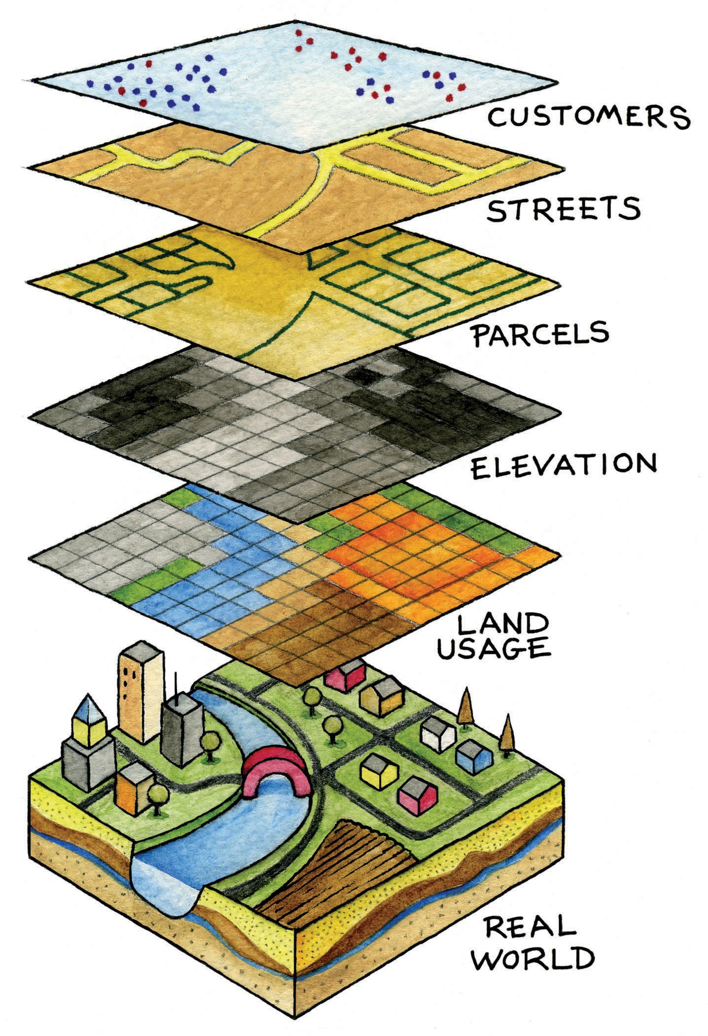
GIS builds a picture of the world by stacking layers of information.
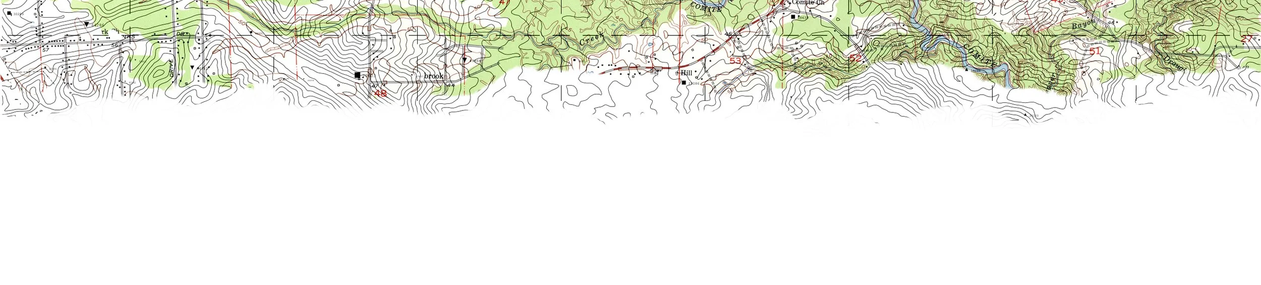
It starts with data. Satellites, drones, GPS, and surveys collect details about location of roads, trees, traffic, rivers, people.
That data is stored in layers. One layer might show streets. Another population. Another flood zones or elevation. Together, they tell a story no single layer could.
GIS software analyzes layers and presents them in visuals. So we can flag flood-prone areas, find the best school site, or map happiness.
Why it matters
GIS help us make better choices for survival, fairness, and progress.
Take Waze. The app collects location data from millions of drivers: where they’re moving, where they’re slowing, where accidents occur. That data is layered onto a digital map, analyzed and used to guide drivers toward faster, safer routes—even warning them about hidden speed traps in small towns. It also balances traffic. When one road backs up, the app shifts drivers to others, easing congestion and keeping cities moving.
Learn by Doing
Our Students are Mapping Where Plastic Goes.
They tag litter with sensors to track its path from storm drains to the Mississippi and into the Gulf. By tracing trash to its source, we help leaders move beyond cleanup—stopping pollution upstream and giving coastal fisheries room to flourish.
See the video from ESRI, a GGI partner, on how GIS traces the path of rubbish.