Educational Outreach
High Schools
St. Aloysius Catholic School
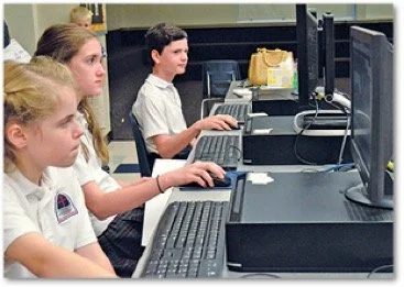
St. Aloysius introduced GIS through a student club. After taking part in GIS Day 2016, students created story maps analyzing crime in Baton Rouge. Their project, Healthy Opportunities for People and Environments – Baton Rouge HOPE, focused on the city’s two highest-crime zip codes (70805 and 70802), mapping churches, schools, and sanctuaries as safe community spaces.
From left, St. Aloyisus students Katherine Winchester, Isabelle Gruner and Jensen Holliday work on their projects as part of the “Baton Rouge HOPE” GIS project. Photo by Debbie Shelley
St. Thomas More, Lafayette
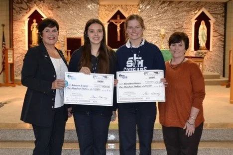
As a final geography project, 90 sophomores entered the statewide ArcGIS Story Map Competition. Mary Barrilleaux and Lauren Lopez placed in the top five with Our Journey through Festival International, completed in just two days. Each student won $100. GGI continues to partner with teacher John Dupuis on wetlands mapping projects, presenting jointly at conferences.
Pictured above are Fran Harvey with LARSGIS, Lauren Lopez, Mary Barrilleaux and STM Principal, Kelley Leger.
Cristo Rey Baton Rouge Franciscan High School
Through a corporate work-study partnership, students worked weekly with GGI to build GIS skills. In 2017, they created a story map for the Baton Rouge Blues Festival featuring music samples from swamp blues artists. They also supported events like the Mini Maker Faire and GIS Day. Both students later enrolled in GGI’s GIS Entry Level Course, the first step toward industry certification.
Hammond High Magnet School & 4-H Tech Club
Hammond High integrates GIS into its pre-engineering pathway and 4-H Tech Club. Students have held leadership roles at the national level, including a 2018 project analyzing county- and state-level health data across the U.S. Locally, 16 students collected nearly 200 data points on ADA ramps in Hammond using mobile GIS and Trimble precision antennas, learning the importance of data accuracy and application.
Lake Pontchartrain Basin Foundation
In partnership with GGI, the foundation hosted a Maps and Apps summer program. Students measured water quality in Lake Pontchartrain, studied wetlands ecology, and conducted a cleanup—tying environmental science directly to GIS mapping.
Dutchtown High School
At the 2017 Maps and Apps camp, students learned coding, drone mapping, and GIS career paths. Megan Dupuy’s project, Dandelion: A Very Beneficial Invasive Species, was recognized among the top five nationally in the ArcGIS Online U.S. School Competition and won $100.